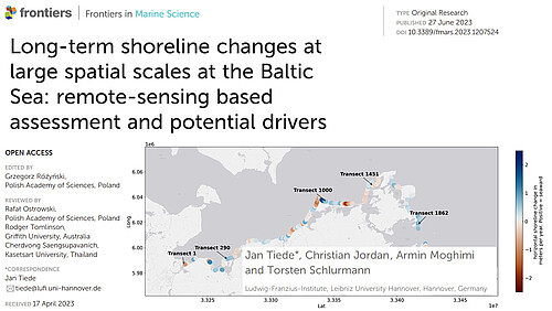
Tiede J, Jordan C, Moghimi A and Schlurmann T (2023) Long-term shoreline changes at large spatial scales at the Baltic Sea: remote-sensing based assessment and potential drivers. Front. Mar. Sci. 10:1207524. doi: 10.3389/fmars.2023.1207524
Remote Sensing opens up new possbilites for coastal research, offering access to datasets that cover vast spatial and temporal scales. This research highlights the value of freely available satellite images in understanding large-scale coastline developments in Mecklenburg-Western Pomerania (MWP).
Examining the natural evolution of the coastal system from 1984 to 1990 and analyzing the period from 1996 to 2022 characterized by regular sand nourishments of 16 million cubic meters, notable changes are observed. The share of erosive segments decline, while the share of stable and accreting transects rises. However, regular sand nourishments may mask true rates of change, raising concerns for sustainable coastal developments, especially with future sea level rise.
The study informs coastal authorities and policymakers on sand resource allocation and adaptation strategies for long-term coastal resilience. Satellite images play a crucial role in understanding and managing coastal transformations, ensuring sustainable development amid challenges like sea level rise.


